Wrong Turns Were the Best Part: How GPS Optimized the Adventure Out of the American Road Trip
There's a diner in a small town in central Tennessee that a family from Ohio stumbled into in the summer of 1991 because they took a wrong exit off I-40 and couldn't find their way back for forty minutes. They ended up staying two hours. The pie was extraordinary. They went back every summer for a decade. The kids grew up. The parents still talk about that diner.
None of that happens with GPS.
The navigation revolution is one of the most quietly consequential technological shifts of the last thirty years — not because it changed how we drive, but because it changed what driving means. And the full cost of that change is only now coming into focus.
The Paper Map Era Wasn't Chaos — It Was Negotiation
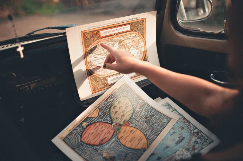
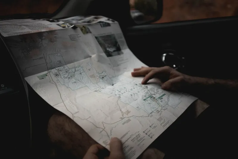
Before smartphones and Garmin devices, the American road trip was a collaborative enterprise. Someone drove. Someone else navigated. The map — usually a AAA TripTik or a Rand McNally atlas with a broken spine — lived in the passenger seat like a co-pilot.
Planning a trip meant actually studying geography. You learned that you'd pass through Knoxville before hitting Asheville. You noticed that there was a state park forty miles off your route that looked interesting. You made decisions, argued about shortcuts, and occasionally bet on whether the blue highway or the interstate would be faster. Sometimes you were right. Sometimes you ended up on a gravel road in Arkansas watching a sunset that you'd never have found any other way.
Asking strangers for directions was its own ritual. You'd pull into a gas station, lean out the window, and a conversation would start. The stranger would almost always offer more than you asked for — not just the route, but a recommendation for the good barbecue place three miles down on the left, or a warning about the construction on Route 9. These interactions were tiny social contracts, quick connections between people who'd never meet again.
The wrong turn wasn't a failure. It was a variable. And variables make stories.
What GPS Actually Did to the Road
The first consumer GPS units hit the market in the late 1990s, but it was the integration of Google Maps and then Apple Maps into smartphones around 2009–2012 that truly changed American driving behavior. Almost overnight, the navigation negotiation that had defined road trips for generations became unnecessary.
Now the route is chosen by algorithm. The fastest path is calculated in milliseconds, accounting for traffic, road conditions, and construction. The app tells you exactly when to turn, how long until the next instruction, and what time you'll arrive — often accurate to within a few minutes.
It is, by any objective measure, efficient. And efficiency is not the same thing as experience.
Studies on navigation and spatial memory have found that heavy reliance on GPS actually degrades our ability to build mental maps of environments. People who regularly navigate by GPS show measurably less activity in the hippocampus — the part of the brain associated with spatial reasoning — than people who navigate independently. We're outsourcing a cognitive skill, and like any underused muscle, it's getting weaker.
The Small Towns That Fell Off the Route
The human cost is also economic, and it's playing out in small towns across America.
Before GPS, the traveler who took the wrong exit or chose to avoid the interstate often ended up driving through the middle of somewhere. They stopped for gas, grabbed lunch, maybe bought a souvenir. Those dollars added up. Small-town economies along old US highways — Route 66, US-1, the Lincoln Highway — were built on the reliable flow of travelers who passed through because they had to, or chose to.
GPS-optimized routing doesn't care about Main Street. It cares about minimizing travel time, which means it sends you around towns, not through them. The result has been a slow economic strangulation of communities that once thrived on through-traffic. Diners close. Motels shutter. The old gas station on the corner becomes a ruin.
This isn't entirely GPS's fault — the interstates were already doing this work long before smartphones — but navigation apps accelerated the bypass mentality dramatically. Why take the scenic route when the app is telling you it adds seventeen minutes?
The Efficiency We Chose Over the Discovery We Lost
None of this is an argument that GPS is bad. It's saved lives. It's helped people with poor spatial awareness navigate confidently. It's made delivery logistics vastly more efficient, which has knock-on benefits for everyone. For someone driving through an unfamiliar city at night, a calm voice saying "turn left in 300 feet" is genuinely reassuring.
But there's a real difference between a tool that helps you find your destination and a tool that removes the experience of finding it. The modern GPS-guided road trip is a transfer from Point A to Point B, executed cleanly. The pre-GPS road trip was a journey — messier, slower, and occasionally maddening, but full of the kind of unscripted moments that people actually remember decades later.
The Tennessee diner family didn't set out to discover their favorite pie. They got lost. The getting lost was the whole point.
Maybe the most interesting thing you can do on your next road trip is put the phone in the glove box for an hour and take an exit that looks interesting for no particular reason. Worst case, you lose a little time. Best case, you find something you'll talk about for thirty years.